Smart City is Here!
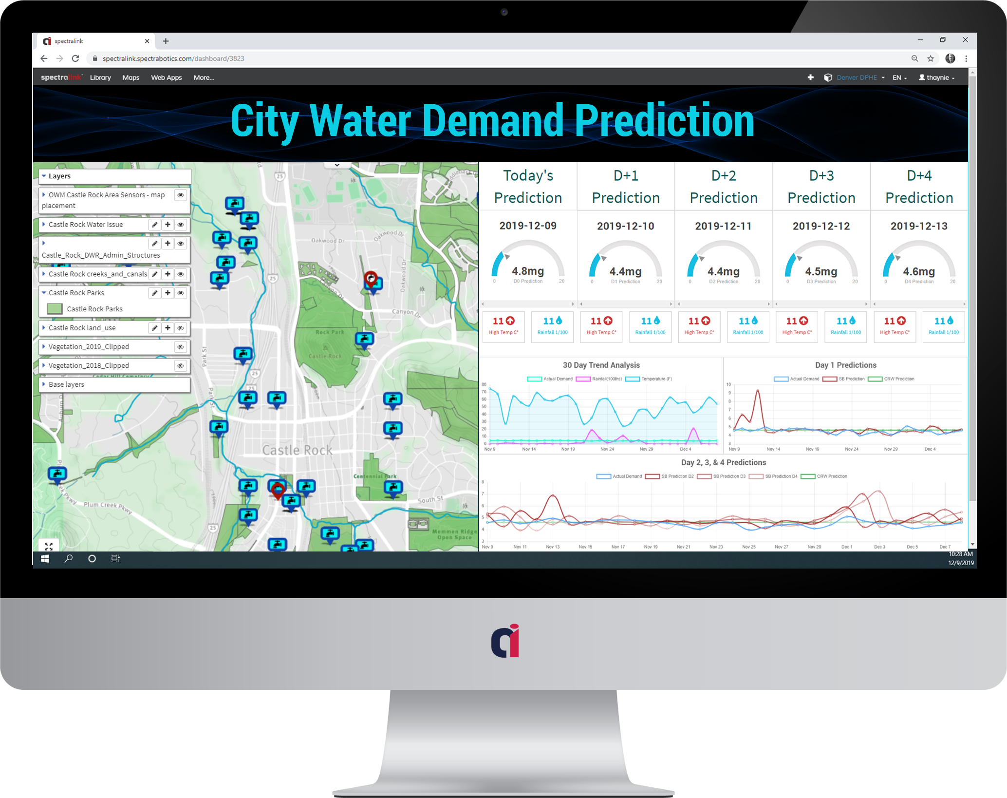
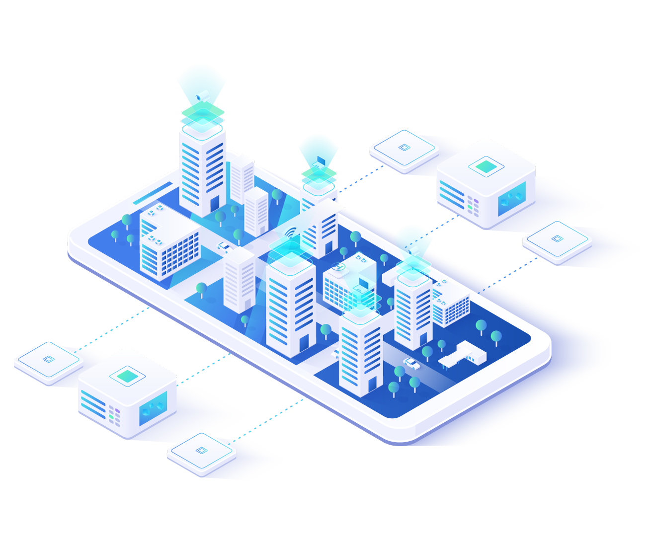
City infrastructure components are becoming smarter by broadcasting information about status and public use. Too often these components silo their data when much could be gained from pulling all of the data together.

Geospatial Smart City Data
Satellite Communication Interruptions
Satellite Health and Status Impacts
Impacts to Sensor Operations
Changes to Orbital Positions
Data Tools
Deep Learning Predictions
Trend Analysis
Pattern of Life Analysis
Environmental Analysis
Customized Dashboards
Visualize Real-Time Or Historical Data
Investigate Pattern of Life Activity
Share Analytics and Dashboard Visualizations
Smart City Technology
Make Your Smart City Genius
Cities are getting smarter by taking advantage of widely dispersed, highly functional sensors. Too often that data ends up in single application siloes or just hits the floor. So much more can be gained by pulling that data together and analyzing it as a whole
Smart City Technology
Better Productivity with our Deep Learning
The proliferation of Low Earth Orbit imaging systems has outpaced the ability for Imagery Analysts to keep pace. Our Computer Vision processing on Spectral Imagery is breaking new ground for imagery analysis and feature detection
